Arya News - Increased volcanic activity, as shown by visual and instrumental observations, suggests a bigger follow-up eruption may happen.
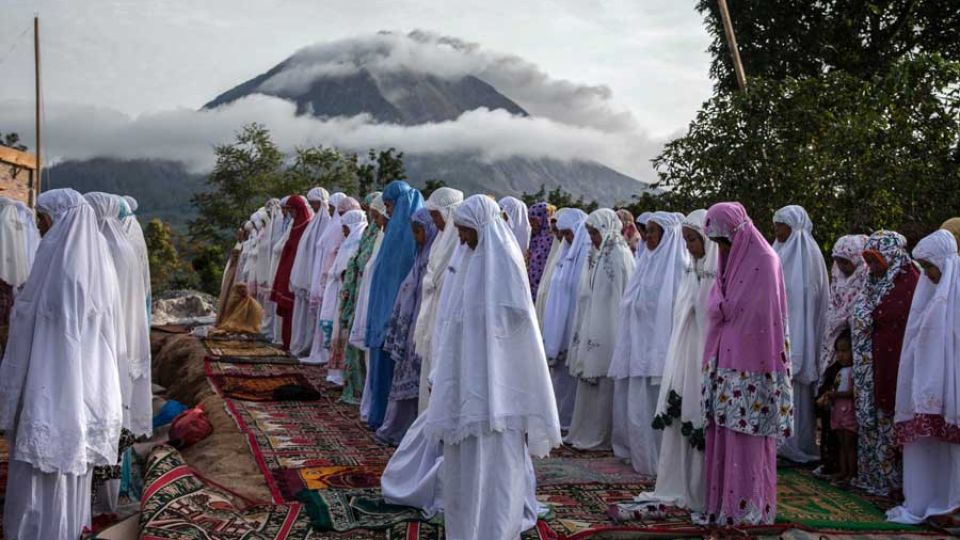
MEDAN – Mount Sinabung in Karo regency, North Sumatra, erupted for the first time in five years on Monday, spewing volcanic ash towering as high as 3,500 meters above the volcano’s summit.
The volcano’s alertness level was upgraded from Level II Awas (advisory) to Level III Siaga (alert).
The volcano was observed to emit thick, black ash from its crater to the East and Southeast.
Mount Sinabung monitoring post head Armen Putra said the eruption was recorded on a seismogram at 10:17 a.m. for a duration of more than 1 hour with a maximum amplitude of 120 millimeters.
“This is Mt. Sinabung’s first eruption since it ceased volcanic activity in 2021,” he told The Jakarta Post on Monday.
“The eruption is considered a major eruption because the volcanic ash column reached 3,500 meters.”
He said that the volcanic ash reaches a radius of up to 20 kilometers in the East and Southeast directions.
Armen called on residents and tourists to remain vigilant of Mt. Sinabung’s eruption because there may be bigger follow-up eruptions. Visual and instrumental observations showed that there was increased volcanic activity in Mt. Sinabung.
He said that before the volcano erupted, there were 85 volcanic quakes, one emission quake and one harmonic tremor. This activity was much higher compared with the days before the eruption.
“Mount Sinabung’s eruption is just the beginning. If we observe from increased quake activities, there could be bigger eruption,” he said.
“In line with the increased volcanic activity in Mount Sinabung, the alertness level was upgraded from Level II to Level III as of Monday at 12:30 p.m.”
Armen said that with level increase, the monitoring post recommends residents and tourists not to conduct any activities in the radius of 6 km in the South and East sectors.
“Residents living along riverbanks with upstream areas in Mount Sinabung must be alert on potential lahar dangers,” he said.
“The public should remain calm and follow directions from authorities for common safety.”
Meanwhile, Mount Sinabung task force commander Lt. Col. Robert Panjaitan asked residents to avoid dangerous zones with the increased volcanic activity, because there are still possible eruptions and pyroclastic clouds.
“I am calling all residents around Mount Sinabung’ slopes and tourists not to enter dangerous zones,” said Robert, who is also commander of the Military District Command (Kodim) 0205/Tanah Karo.
Once dormant
Last week, Karo regency administration temporarily closed Lau Kawar Lake and the surrounding camping grounds in Kuta Gugung village, Naman Teran district, following increased volcanic activity and an increase in alert level.
The closure started from Aug. 19 for an indefinite time.
After being dormant for about 400 years, the 2,460m Mount Sinabung erupted for the first time on Aug 29, 2010. The activity then decreased in September 2010.
The volcano erupted again on Sept. 15, 2013, before calming again on Sept. 29, 2013, and the status was lower to level II.
A major eruption happened in November 2013 with the alertness status increased to the highest, level IV Awas (warning). The eruption killed dozens of people from volcanic pyroclastic flow while thousands of residents from 21 villages and two hamlets evacuated.
The volcano continuously erupted for the next six years before the status was lowered to level III Siaga (watch) on May 20, 2019, after visual and instrumental data analysis showed the threat was decreasing.
Sinabung erupted again on July 28, 2021, spewing volcanic ashes as high as 4,500 m and volcanic pyroclastic flow as far as 1,000 m to the east-southeast direction. At least five districts were affected by the eruption with thick volcanic ash covering the surface.
The 2021 eruption was the most recent eruption after being active for 11 years.